New York City Water Trail
Championing NYC Water Access: Mapping the New York City Water Trail Guide
Since the NYC Water Trail’s official launch in 2008, Going Coastal has been at the forefront of enhancing water access in New York City. In close collaboration with the NYC Water Trail Association steering committee, we undertook the task of mapping, ground-truthing, designing, producing, and delivering the New York City Water Trail Map & Guide. This initiative aimed to redefine urban water exploration.
At its inception, the project’s primary focus was mapping the 28 existing kayak and canoe launches across the five Boroughs. By its fourth iteration five years later, this mapping effort had grown to encompass more than 50 legal launch and landing sites. The outcome was a comprehensive guide, fostering awareness of estuary accessibility and advocating for active stewardship of this invaluable resource.
Uniting a Network of Enthusiasts: A Collaborative Approach
The NYC Water Trail project served as a catalyst for collaboration among various water trail initiatives and stakeholders. Veteran paddlers, boat clubs, park administrators, and local advocates all rallied around this shared cause. The result was a network of knowledge and support that enriched the accessibility and usability of New York City’s waterways.
The map encompasses various federal, state, and municipal park systems, illustrating the tapestry of water bodies that weave through the city. The project’s core deliverables included inventorying, Geographic Information Systems (GIS) creation, and mapping of all legal human-powered boat launches within New York City. The culmination of this effort was the production and distribution of 50,000 waterproof maps, accompanied by an online electronic map and a mobile application.
Charting Progress: Expanding the NYC Water Trail Network
From mapping kayak launches to distributing comprehensive guides, Going Coastal’s journey with the NYC Water Trail project has been marked by dedication, collaboration, and adaptability. By fostering awareness, championing stewardship, and facilitating access, the project stands as a testament to the enduring commitment to enhancing the water experience in the heart of New York City. Going Coastal was recognized with a Partner Award from the New York City Department of Parks and Recreation for our contribution to the water trail development.
The journey doesn’t end with the map – it was just the beginning. A world of urban water wonder is unveiled that beckons you to paddle, explore, and embrace the NYC Water Trail. The currents are calling, and your adventure starts now by joining one of the dozens of boathouses and groups helping to introduce new people to paddling and rowing the watertrail. Embrace the journey, embrace the waters – time to embark on this aquatic expedition together.


Products
NYC Watertrail Map & Guide Brochure
NYC Water Trail Digital Map
NYC Water Trail Phone App
Launch Site Surveys
Project Objectives
- Water access
- Advance resource stewardship
- Public education and outreach
- Connecting people and places
- Promote healthy lifestyles


Partners
Get on the water
Free and low-cost ways to experience the New York City Water Trail
WATER QUALITY
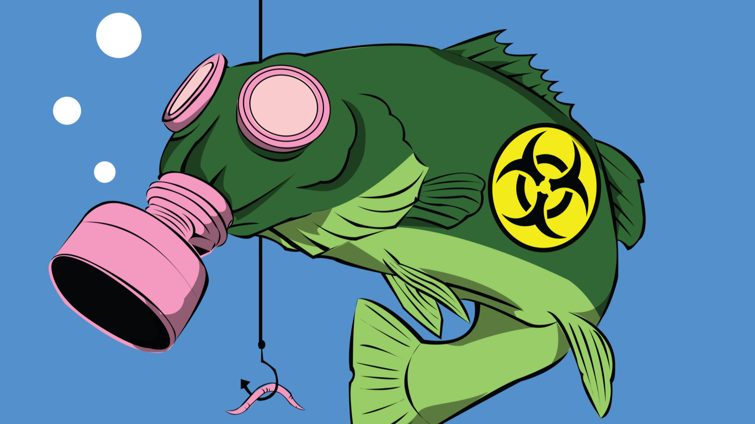
Waterbodies in New York City are classifed by the New York State Department of Environmental Conservation (DEC) according to their best uses. Classifcations indicate whether water quality is suitable for swimming, boating, fshing, and shellfshing. The best uses of Class SA, SB, SC, and I waters include boating.
During or following heavy rainfall, waterbodies may experience short-term spikes in bacteria levels due to combined sewer overfow (CSO). Boaters can check the DEP website (www.nyc.gov/dep) for a map of CSO outfalls along the waterfront and to obtain general advice about whether CSOs are likely.

PADDLE SAFETY CHECKLIST
- Always wear a USCG-approved lifejacket.
- Plan your route and fle a foat plan
- Be visible—carry a whistle, air horn, fares, lights
- Carry a VHF marine radio & cell phone.
- Know and obey navigation Rules of the Road.
- Do not exceed your skill level. Know how to swim.
- Travel with experienced guides and in groups
- Dress in weather appropriate clothes, avoid cotton.
- Dress for the water temperature, not air temperature.
- Wear a wet or dry suit if water temperature is below 65o F.
- Wear sunblock, hat, sunglasses.
- Wear protective footwear.
- Bring plenty of drinking water and food
- Consult tides and currents: tidesandcurrents.noaa.gov
- Check weather report : weather.gov or nws.noaa.gov
- BE AWARE! From a kayak’s low vantage point, vessels appear further away.


